Summary:
Length 10.9km
Elevation gain: 583m
Time: 3h 15mins of moving time, 3h 37mins total
Starting point: Cypress Mountain parking lot


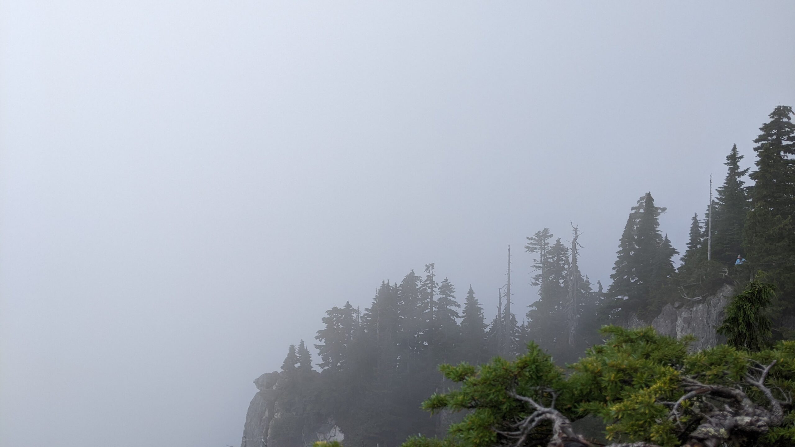
My very first hike in British Colombia! This one is relatively easy, with a few steep parts in the middle and at the end. We began in the Cypress Mountain parking lot, which put us at a starting elevation of 834m. For the majority of the hike, we follow the end (or the beginning, depending on how you look at it) of the Howe Sound Crest Trail. Unfortunately, there were clouds at the top when we got there, giving us little to no views. However, the clouds cleared up as we descended, and so we stopped at a few midway viewpoints. Due to it being the September long weekend, the trail was a little busy and we were far from being the only people at the top. It was still a very enjoyable hike, and I would love to return when the weather is clear!


