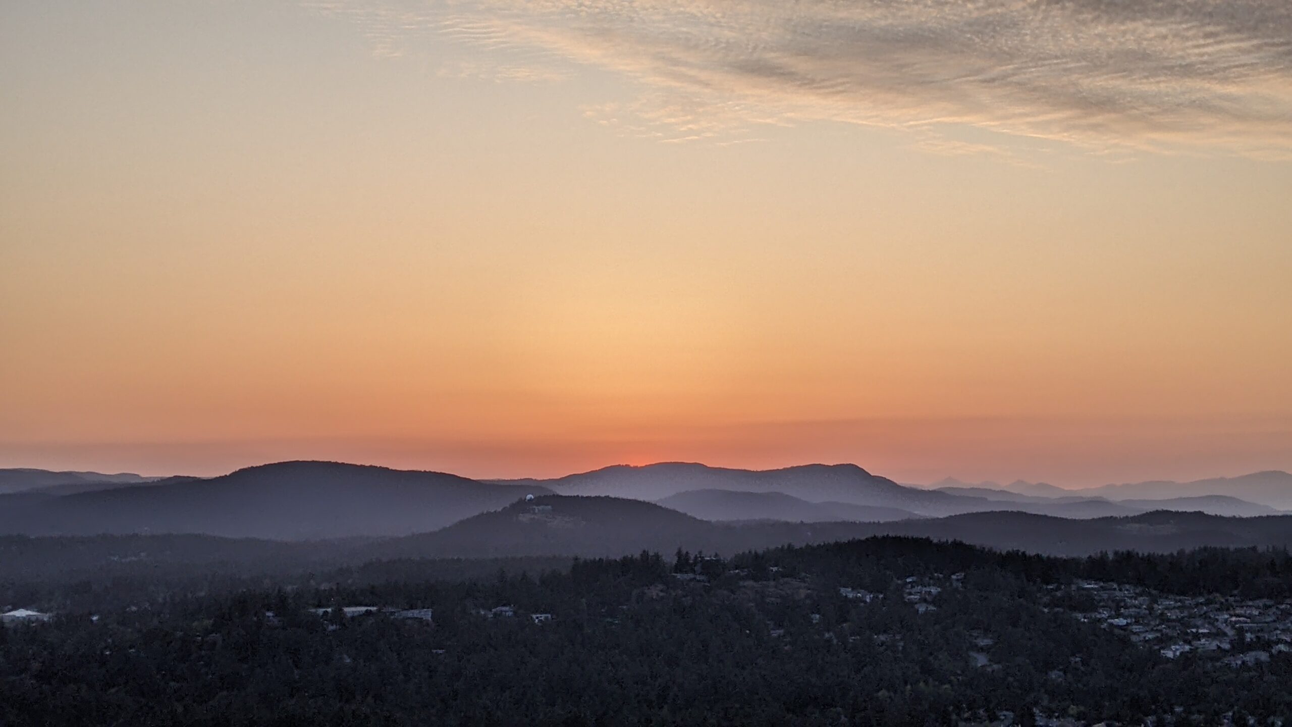
I walked to this summit from my house in Victoria! It only added 2.4km to the total journey (not included in trail length below) and with long summer nights, there was no reason not to. I watched the sunset from PKOLS quite a few times over the summer and loved it every time. Check out my All Trails activity here.
Summary:
Length: 2.7km
Elevation: 180m
Time: around 40 mins
Starting point: Mount Douglas Park (lower) parking lot


There are several different ways to get to the top of PKOLS. The different tails are labelled easy, moderate, or hard. The path that I took most often was a combination of these 4 trails: Norn (moderate) – Harrop (moderate) – South Ridge (hard) – Summit (easy). Learn more about the trails on the Saanich PKOLS page!
Once at the top, I settled down between some comfy rocks, read my book, and watched the sunset. This is a pretty busy spot because people can drive to the top parking lot. But there is lots of space to sit down and enjoy the view away from the main area (and people).
I had to be a little careful on the way down, in the dark, but nothing too bad. I did startle a deer, which startled me- there had been a few recent cougar sightings in the neighbourhood so I was a little wary!
This is hands down one of the best sunset spots in Greater Victoria! It has the best elevation around, giving a clear view of the sunset. Most beaches near Victoria are not ideal for sunsets, being east- or south-facing (but great for sunrises!).
The mountain is situated on the territory of the W̱SÁNEĆ Nations and the Lekwungen Peoples. It was and remains to this day an important location for the Indigenous community in Saanich. In 2022, it was renamed from Mount Douglas (a name given by colonizers) to PKOLS (its original name). Read more about the renaming of PKOLS here.


